
Aerial Photography & Film · Greater Houston
See the property. Understand the place.
A higher perspective
Scale, setting, and possibility in a single frame.
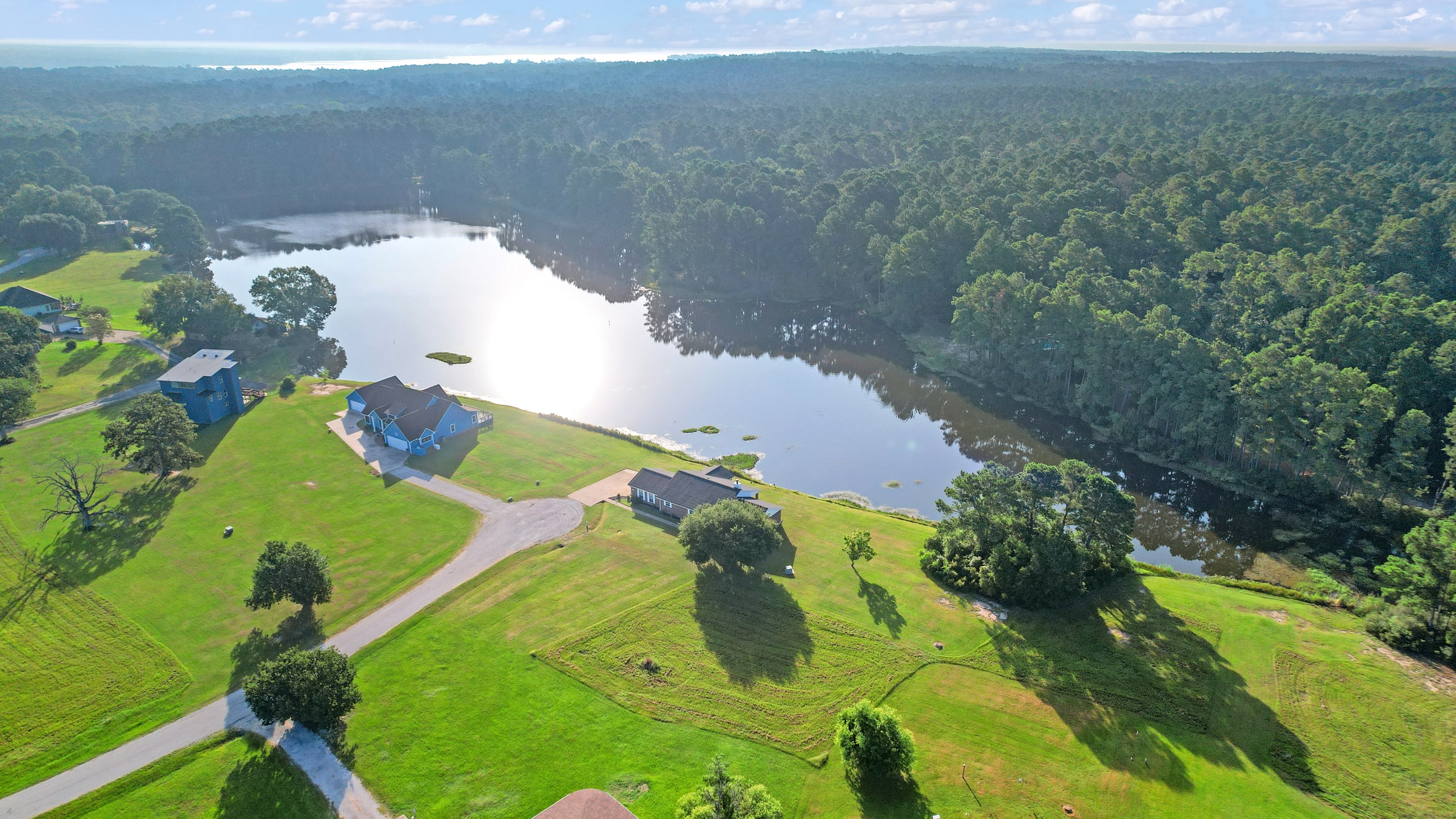
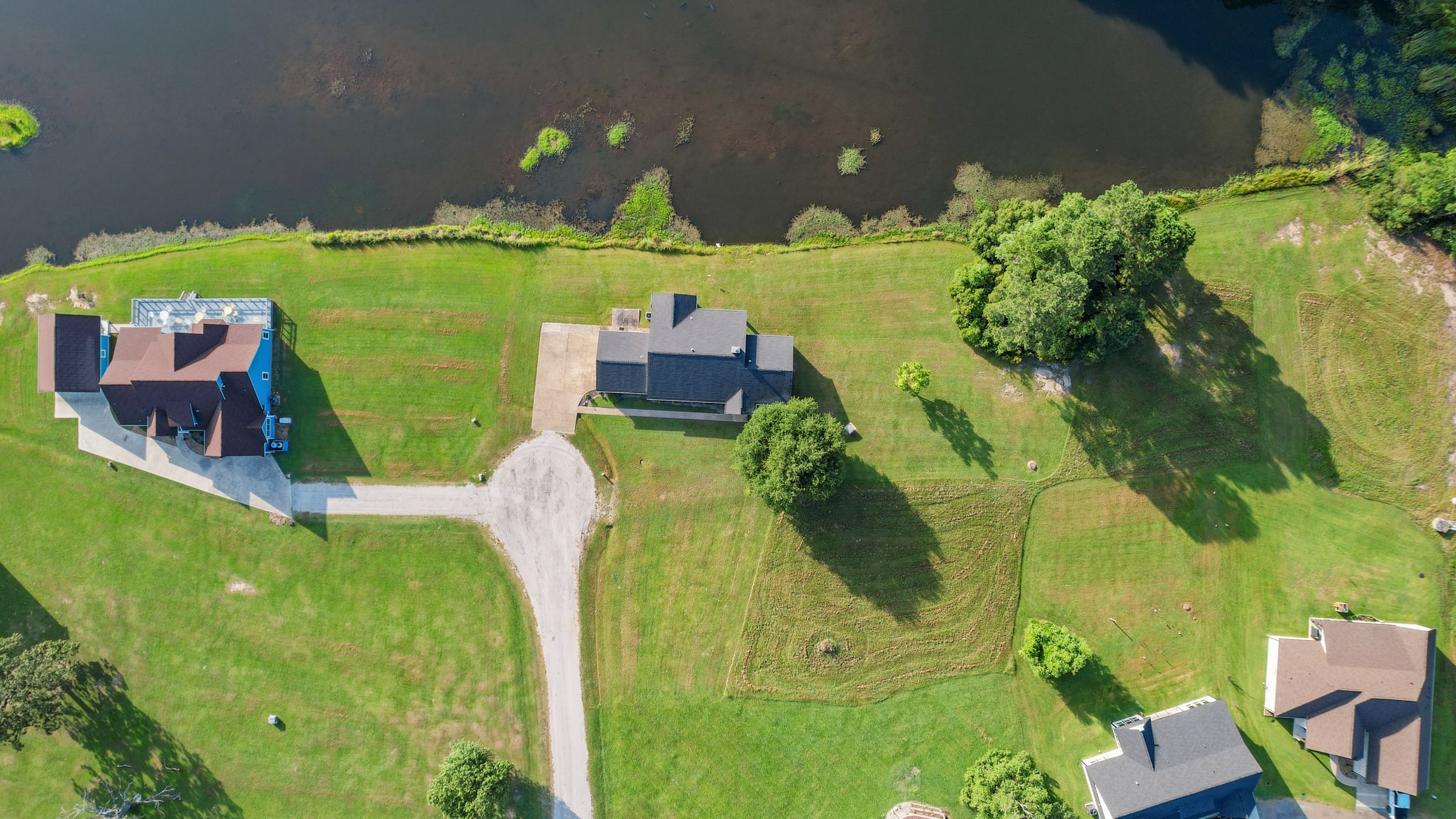
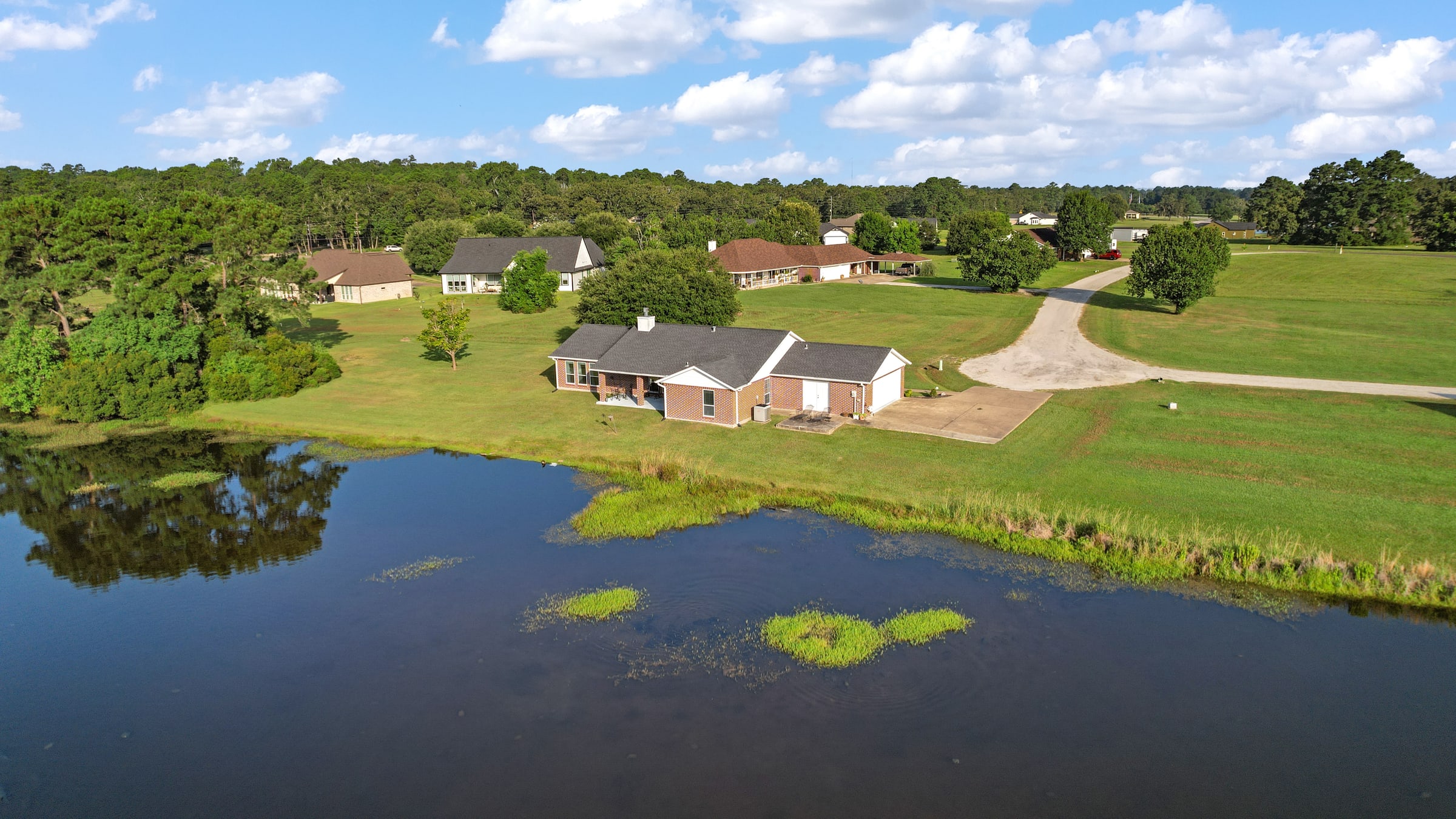
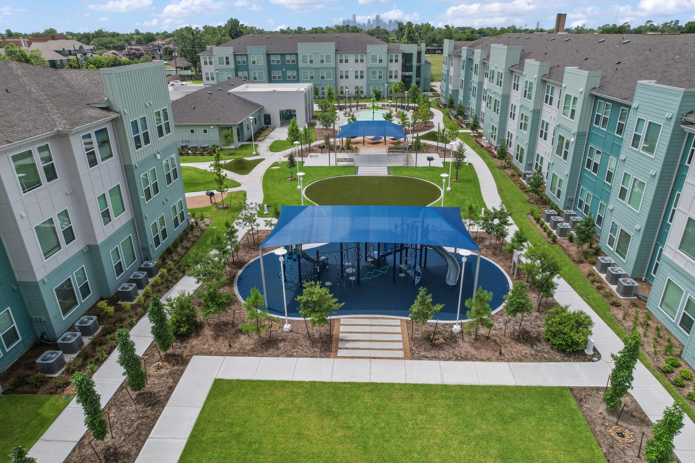
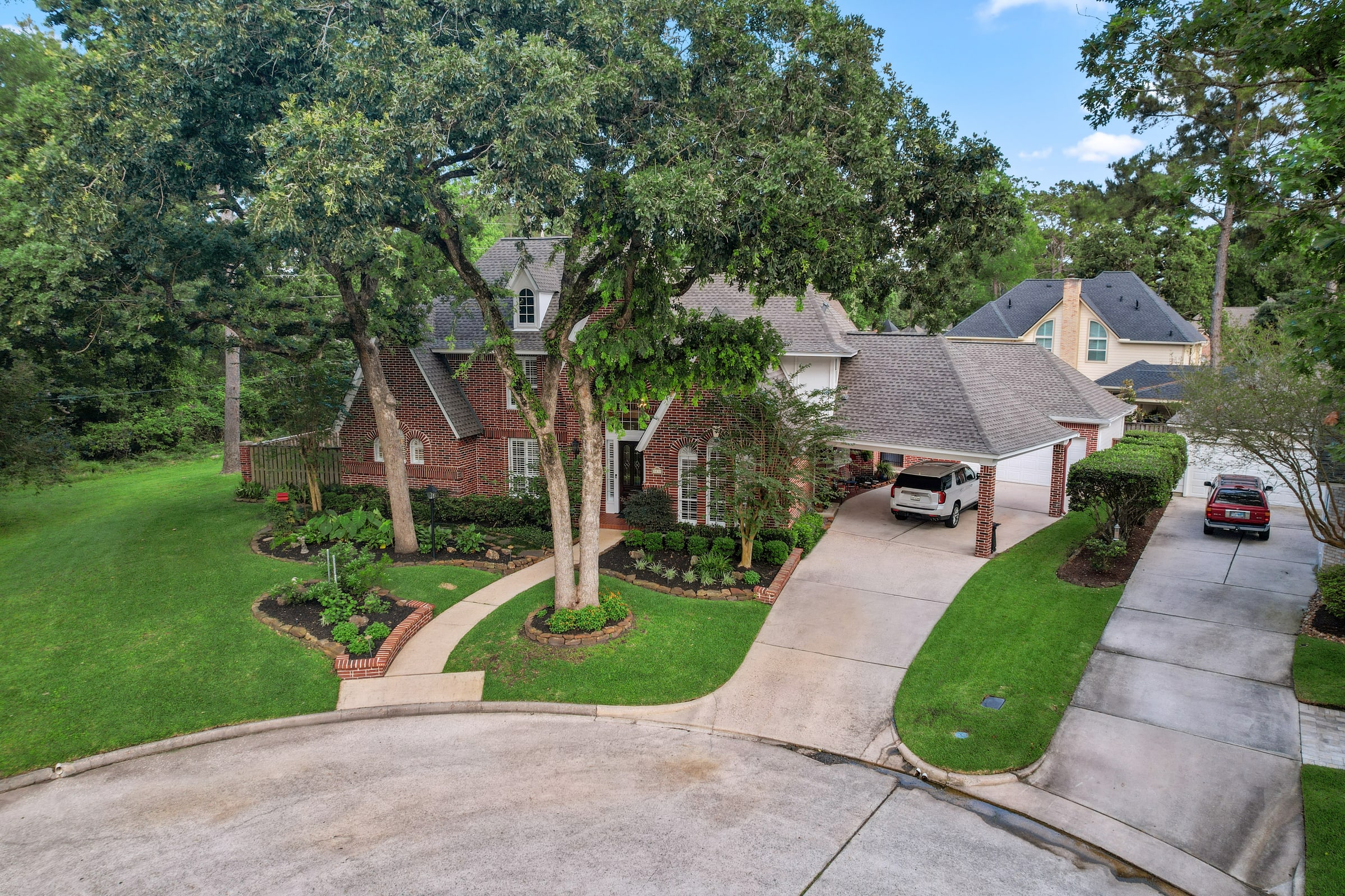
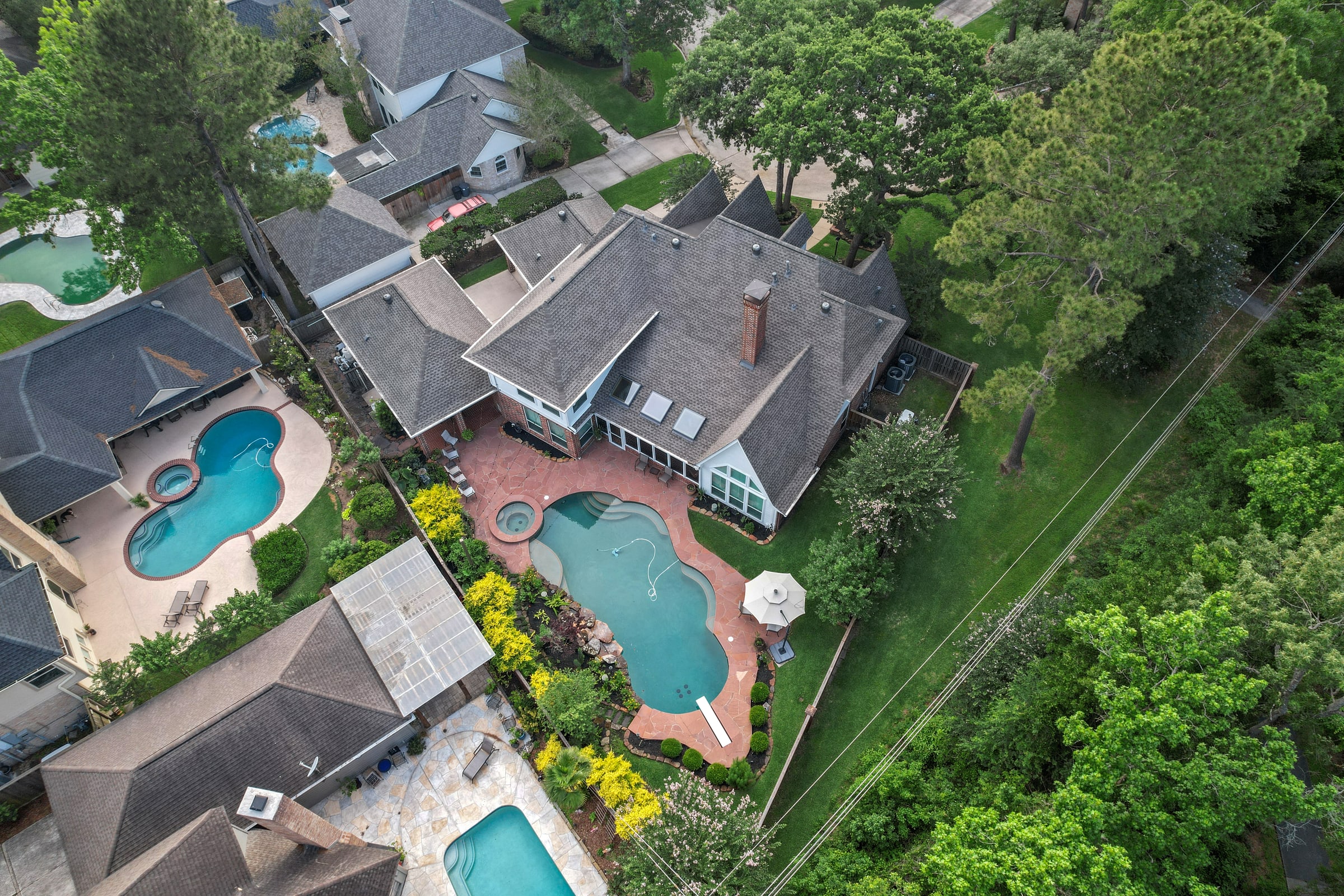
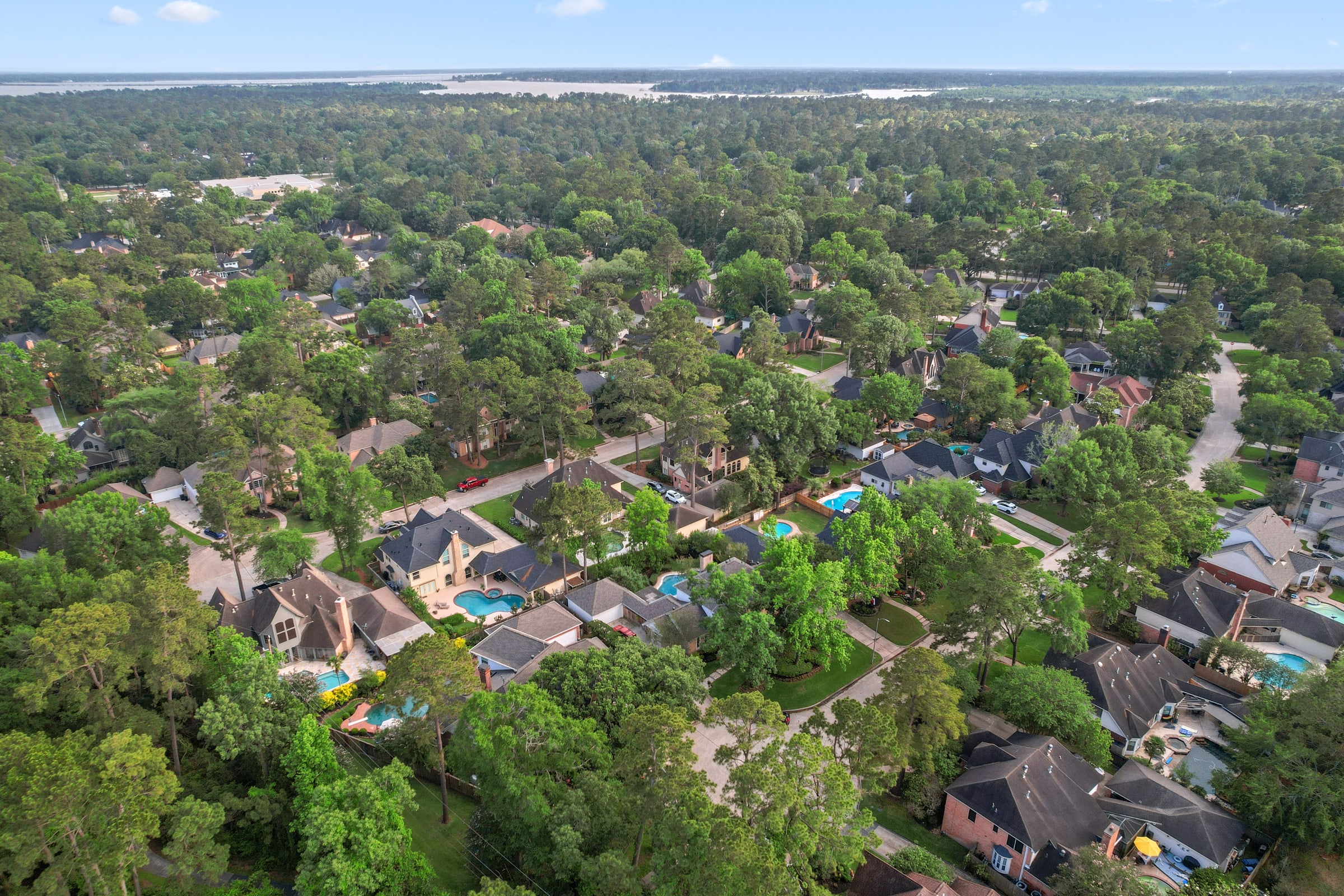
Aerial imagery places a property in context. It reveals the land, the neighborhood, and the features that ground-level photography cannot fully communicate.
The complete property story.
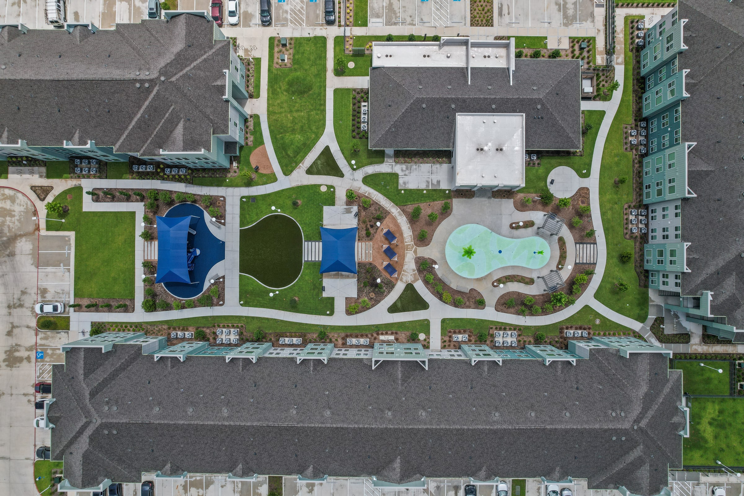
Wide establishing views and precise overhead compositions make location and scale immediately clear.
Movement reveals what stills cannot.
The film begins automatically when it enters the screen and pauses after it leaves.
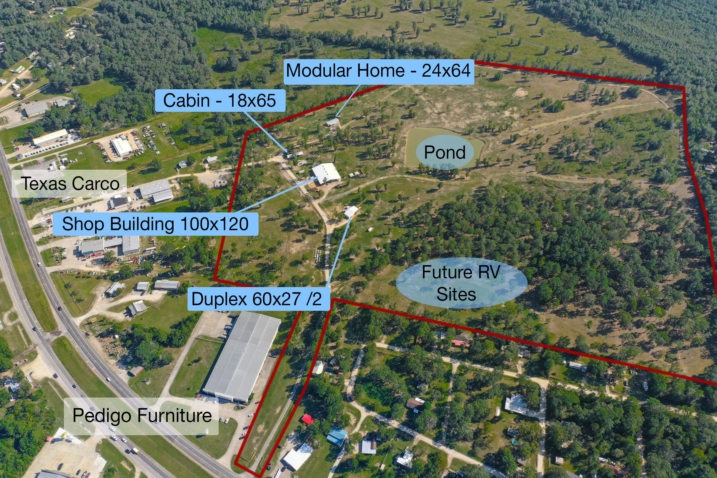
Context & planning
Useful perspective, beautifully presented.
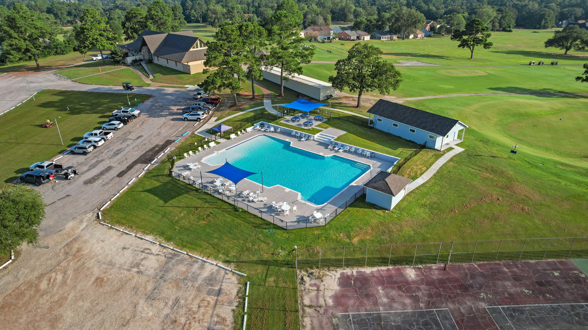
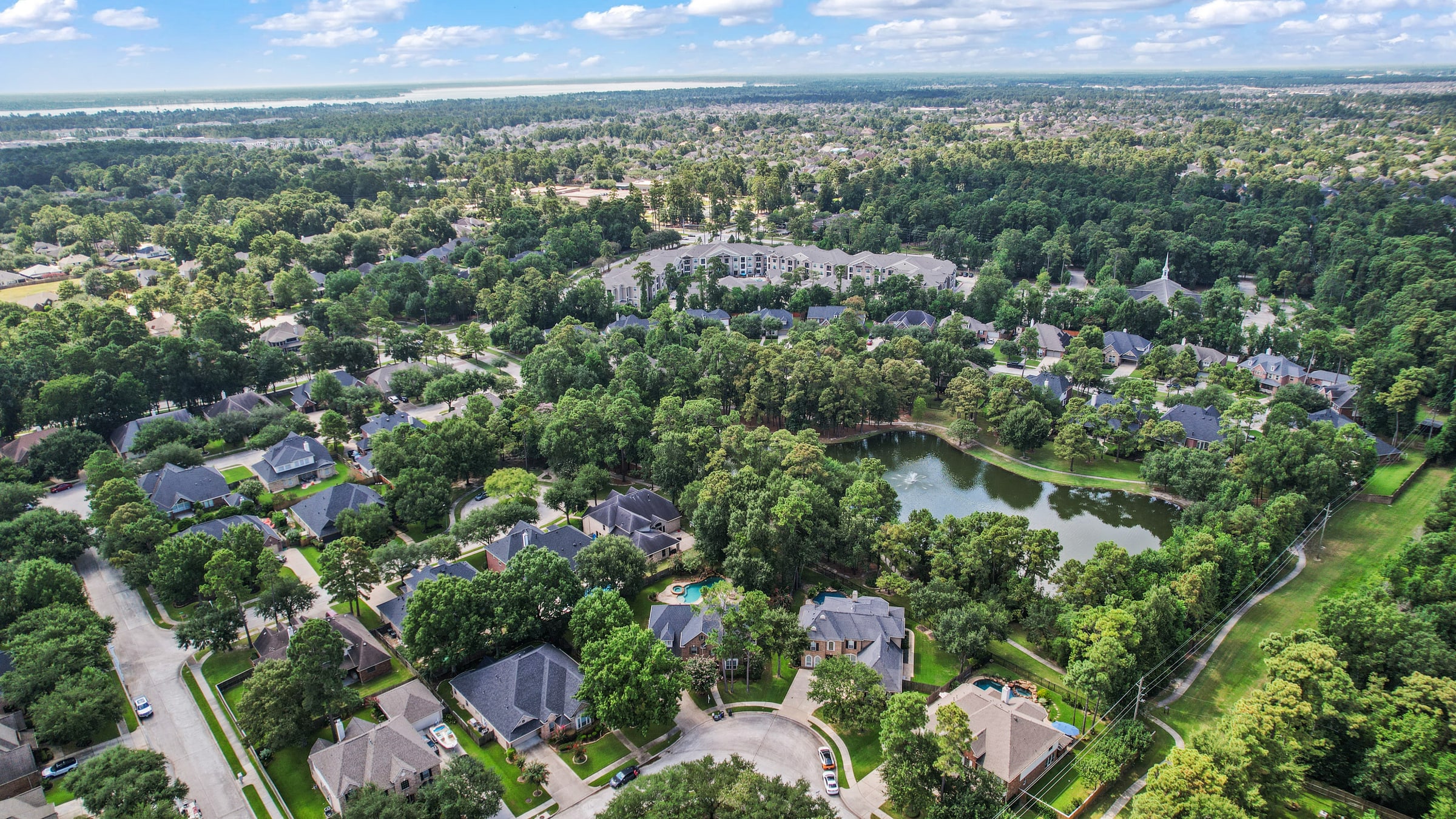
Show amenities, site relationships, development context, and the boundaries that help viewers understand the opportunity.
Film 02
A cinematic sense of arrival.
Fluid drone movement builds a clear visual journey from the surrounding area to the property itself.
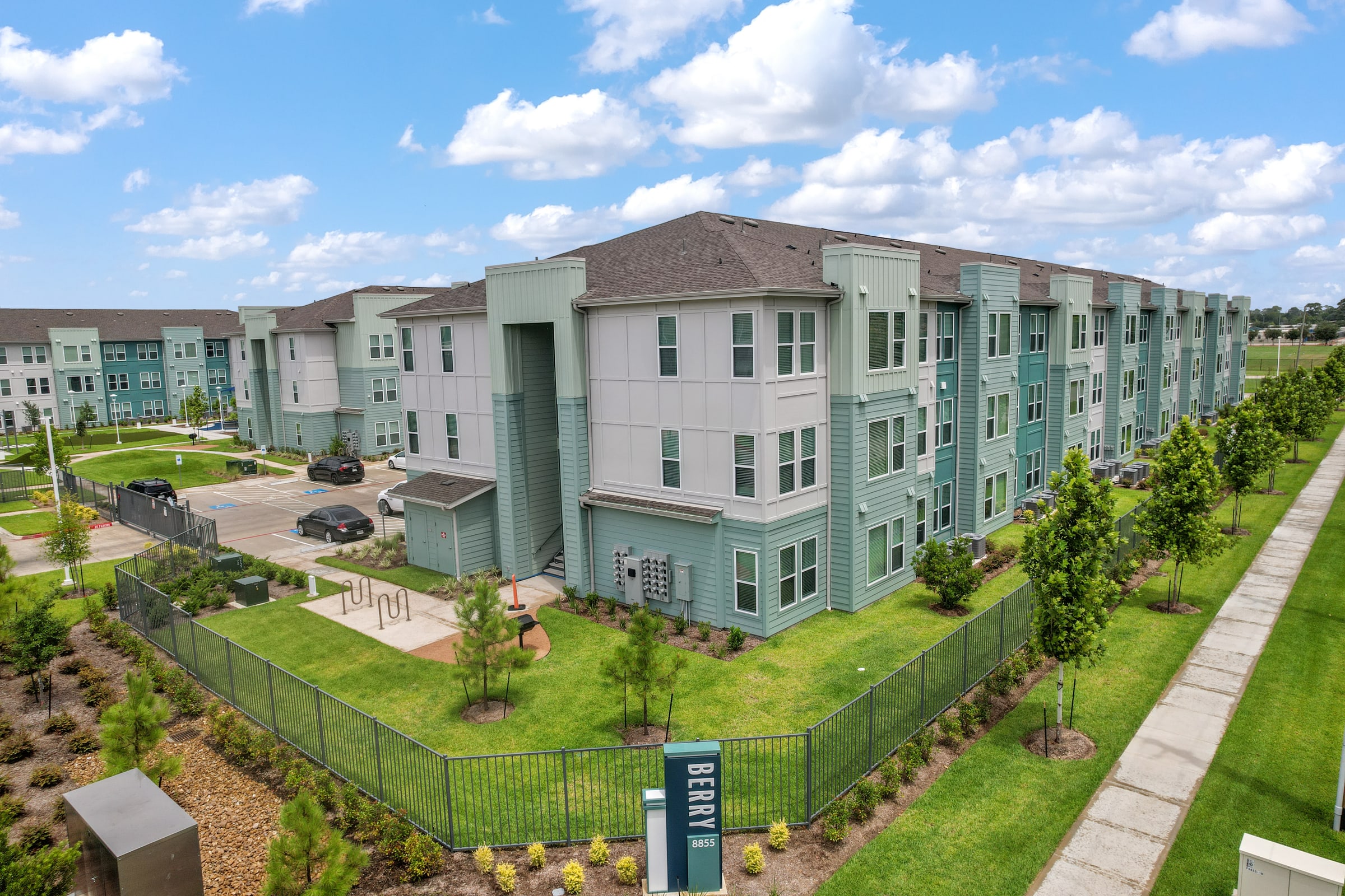
From the front elevation to the wider neighborhood.
Every altitude has a purpose: establish the home, reveal its amenities, and connect it to the community around it.
Elevate the next listing
Show more than the property. Show its place in the world.
Aerial photography and film for residential, land, and commercial listings across Greater Houston.
Order a Shoot